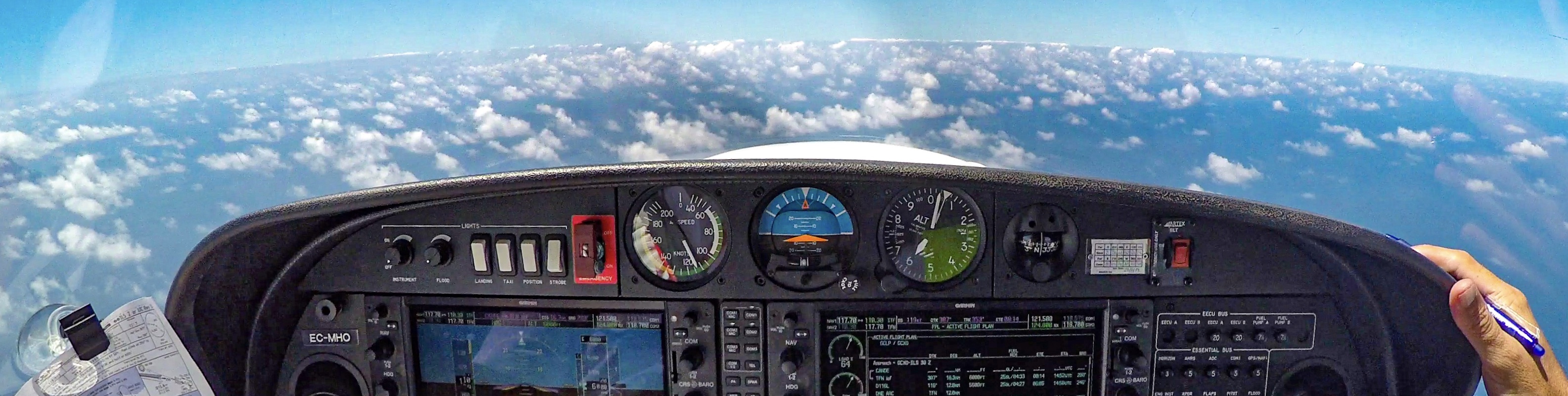
This is my 4th compilation of aerial images of flying around the Canary Islands; in this post I’ll share with you some images of Fuerteventura.
Fuerteventura is the second largest of the Canary Islands.
If you have missed my previous compilations, you can see them here: Tenerife, La Gomera and La Palma.
Hope you’ll enjoy the views as I did enjoyed them when flying around Fuerteventura!
Stay safe and safe landings!

Puerto del Rosario

Playa de Corralejo


Cofete


Morro Jable

Faro de La Entallada

Ajuy, Fuerteventura

Cofete

Puerto del Rosario


Punta de Jandía


Fuerteventura


Puerto del Rosario

Puerto del Rosario


Isla de Lobos

Aeropuerto de Fuerteventura

Punta de Jandía


Playa de Sotavento

Top photo series of this island. I do stay fascinated by the ‘abandoned airfield’. Is this the so cold ‘Winter airfield’? Sources are not clear about it. Seems there are, or have been, quite a few airfields on this island. Hovering around on ‘Google Earth’, (spoiler: you don’t have to rent an expensive airplane to visit the island 🙃) I found another – similar – one but it turned out to be a flight school (Aeródromo del Jarde) 🤣🤣🤣
There is still an existent heli landing platform at the Winter Villa, but it’s not listed in the AIP.
Senkju beri match mai frien! 😀
Well, this airfield fascinates me as well; I’ve visited it as well (on a Jeep)…
I thought that this one was built by Winter, but one of my readers suggested me to modify an older post with more current information..
Here it is! 😀