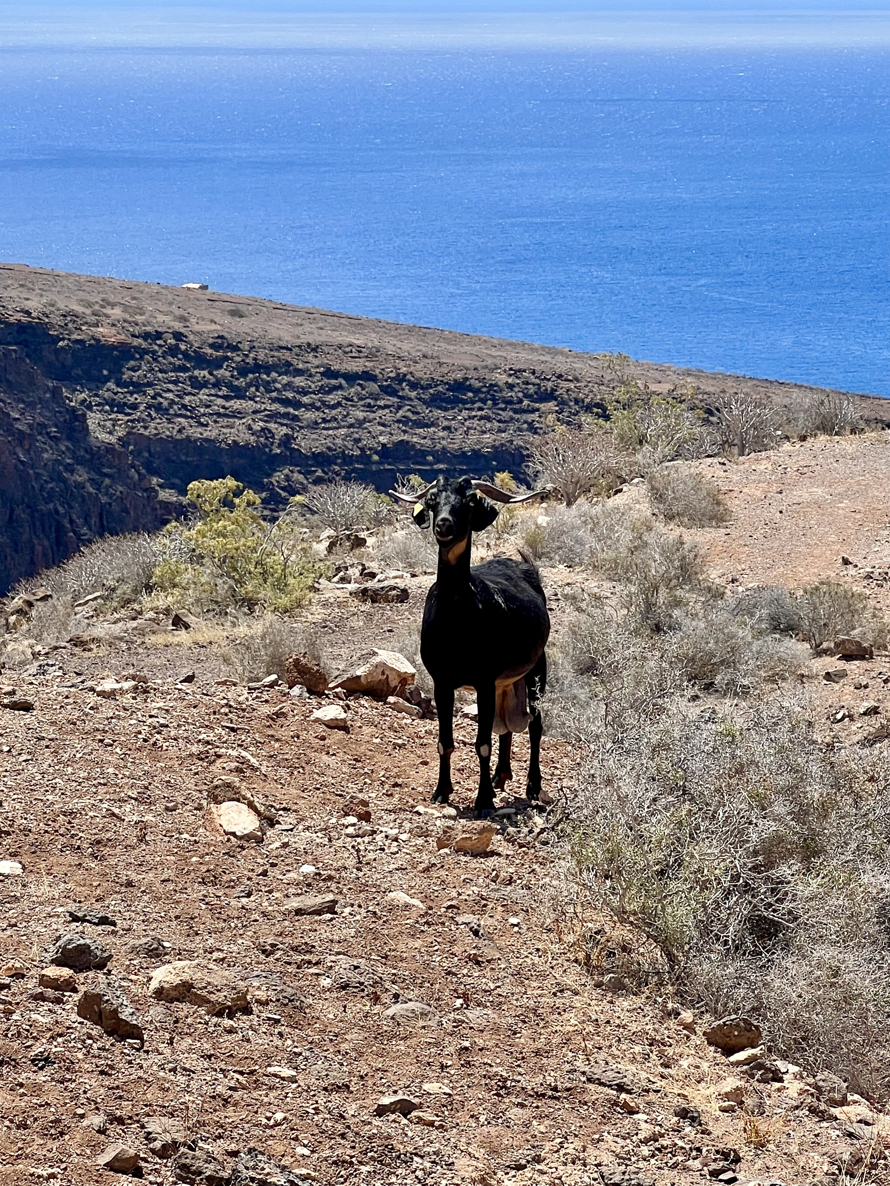
Unfortunately the access road is pretty damaged and partially non existing, but to walk down for approximately 2 hours along the valley is absolutely amazing. The landscape is absolutely fantastic; like in the western movie.
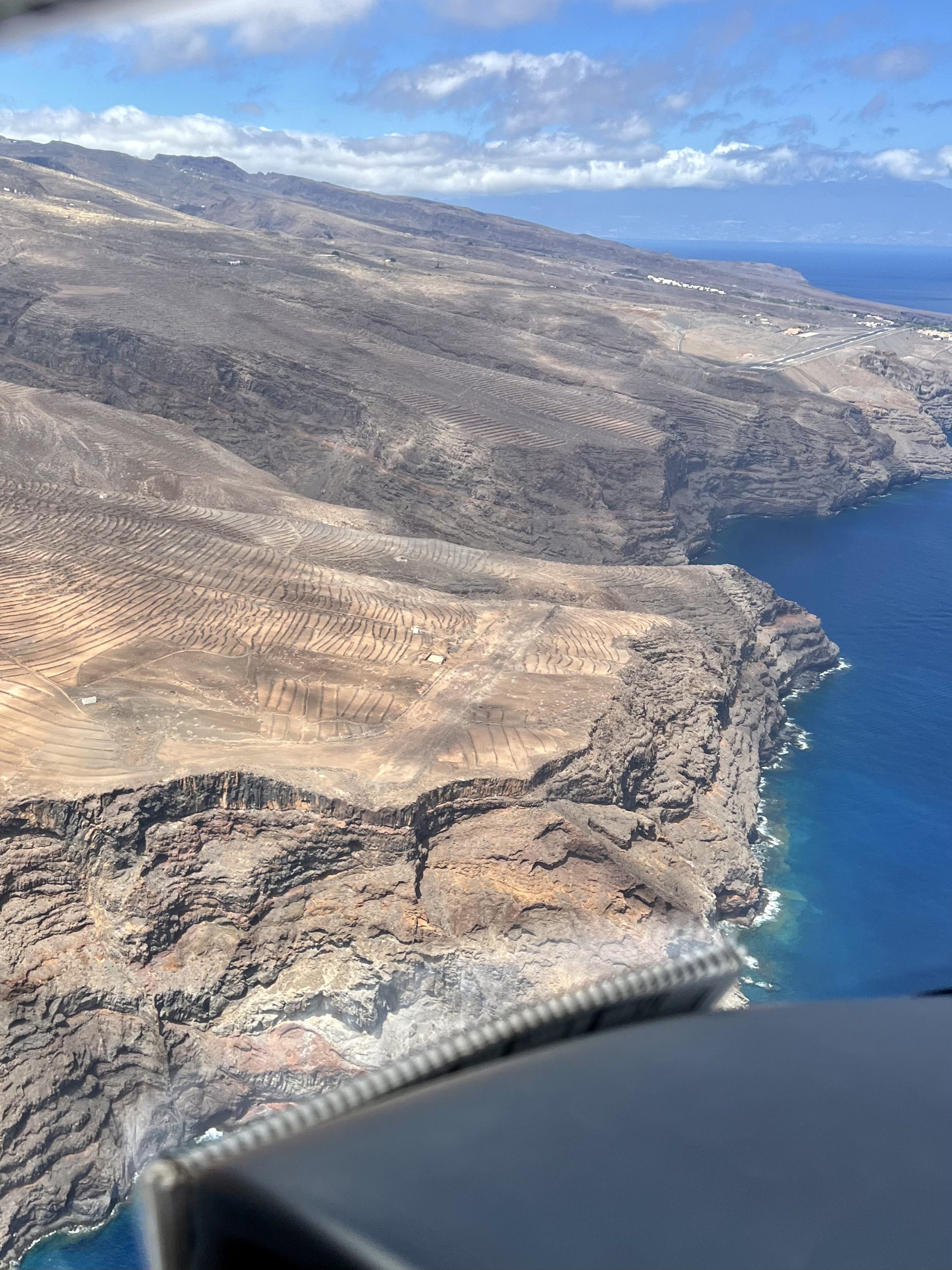
The aerodrome is not accesible by car, nor 4×4. Just by feet, helicopter (maybe) or apparently from the beach by feet, if you get transferred there by a boat.
17 kms to get there and back (actually a bit less, but if you walk up and down the 500m long runway, this counts as well)… If you are on Strava, you can see the cute here.
You can leave your car at La Roseta and start to walk from here: https://goo.gl/maps/FMxEUGcmCWDXcUHS6

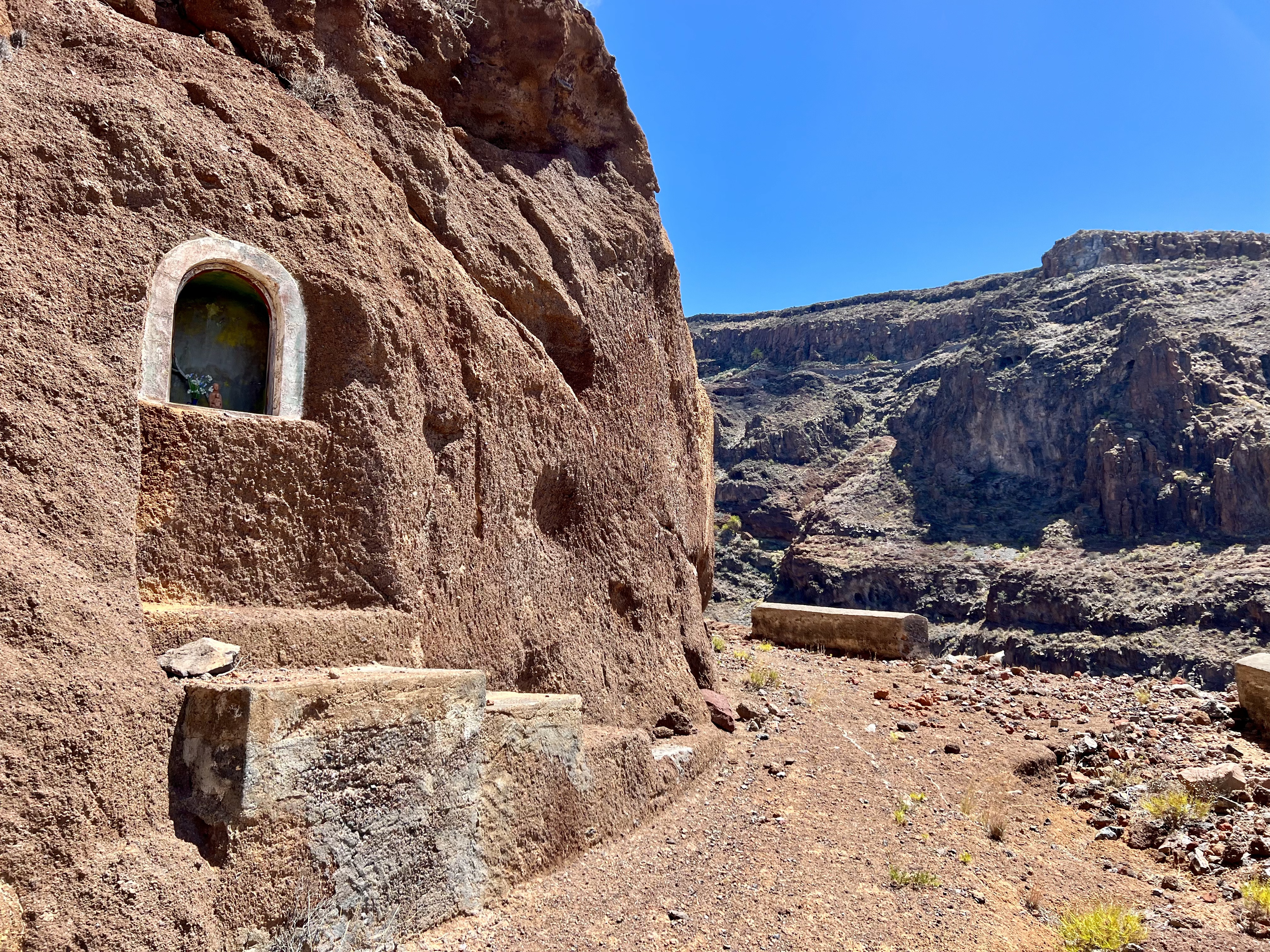
And now simply enjoy some of the pictures taken during the walk to the aerodrome El Revolcadero.


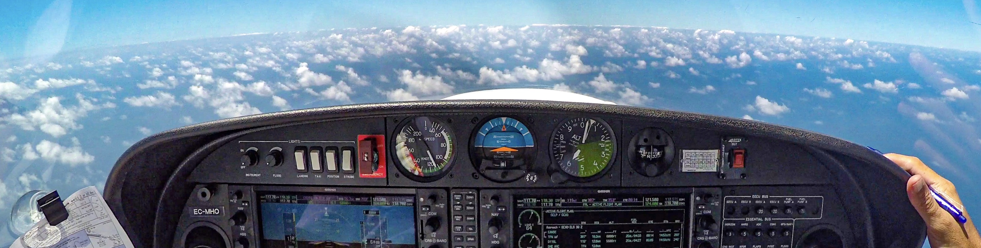
Very interesting to follow your blog and see your videos. If possible can you include more ATC communication on your video adventures. I try to understand the airspace there. It seem most airspace below 1650 feet (1000 feet AGL) is uncontrollee but who flies that low over ocean so I guess all your flights are basically with Canarias control? Seem a little strict, not much spontanious manuvers? for someone who has mostly G airspace here in my area 🙂
Well, we basically fly under radar control, Approach, Control Canarias, Tower, etc… Ultralight planes are not allowed on the airports around here, only at 2 aerodromes, so basically you could only land at Fuerteventura or Gran Canaria, not on the other islands…
Lwt’s see if I’ll make more videos with the ATC… 🙂
And just to add, we can fly even higher in the controlled airspace. We can fly at 6, 7, 8 or 10.000 feet if we get the ATC clearance 🙂
Thanks, much apreciated. So theoretically you can rent a PA28 at GCXO and fly to GCLA and only speak to each CTR controller, before leaving W (Santa Ursula) and only again when approaching waypoint ”E” at GCLA if staying below 1650 feet on route those about 75 NM.
Well, all airports are D class, except TFS which is C and La Gomera and El Hierro which are G.
In theory you could be flying without the communications, but in the real life you always speak the radio, it’s practical as well as you get traffic information. So the theory is one thing, real life is another… But it’s not a big deal 😉